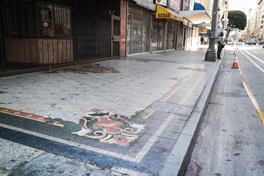
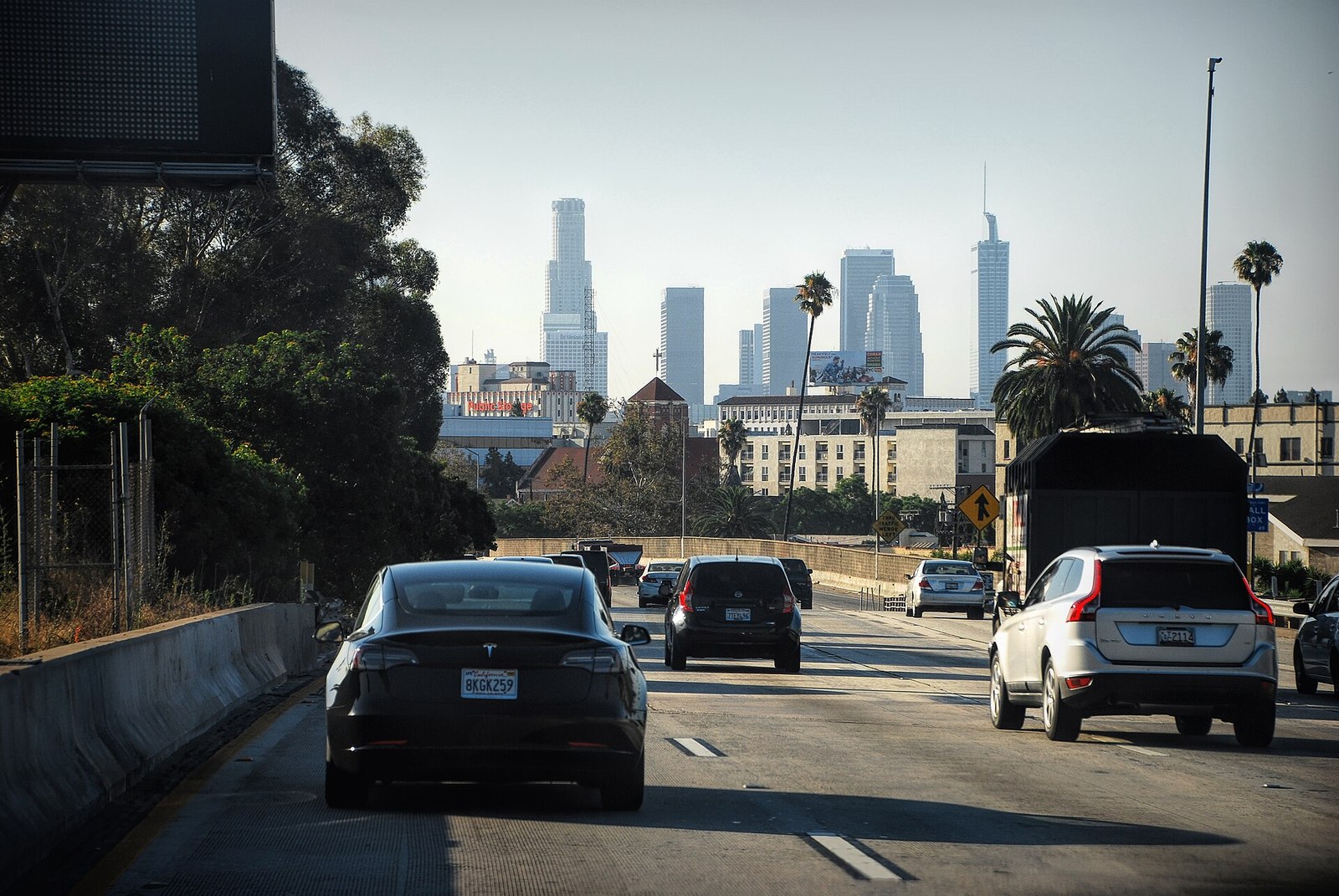
A road closure can affect more than the section marked on a map. It may change the freeway ramp you need, the side of a venue you can approach, or the street where a passenger can be dropped off. Before an important cross-city trip, check both the main route and the final few blocks.
Use the right source for the road
Caltrans’ travel page links to QuickMap, highway conditions, lane closures, traffic cameras, and CHP incident information. It is a useful starting point for state highways and freeway travel. Select the information relevant to your route instead of treating every map marker as the same kind of disruption.
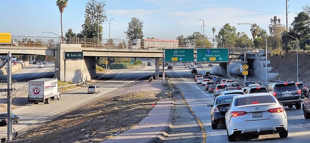
A slow segment, a closed lane, and a full closure require different responses. Read the notice details and direction of travel. A closure on the opposite carriageway may not directly block your route, while a closed connector or exit can make a familiar approach unusable.
Check the local approach separately
For a concert, street festival, sports event, or construction-affected destination, review the venue or organizer’s official arrival instructions. The building’s normal entrance may not be the best approach that day. Save the designated parking, drop-off, or pedestrian entrance rather than only the venue’s main address.
Make sure your backup does not lead to the same blocked access point from another direction. If a companion is meeting you, share the updated entrance and meeting location. Two people using the same venue name can still arrive on opposite sides of a large site.
Compare alternatives before departure
Choose a backup you can understand without making several last-second turns. Consider whether delaying the departure, using another transport mode, or changing the order of stops would make more sense than driving a long detour. A route with a shorter estimated time is not automatically easier to follow.
For transit alternatives, use the tools on Metro’s rider page and check the trip for the relevant day and time. Our first Metro ride guide can help if a closure prompts you to try a route you have not used before.
Keep navigation from becoming a distraction
Review the route before moving and set up the navigation you intend to use. If an unexpected change requires a closer look, stop in a suitable legal place before adjusting the plan. A passenger can help read directions, but everyone should avoid pressuring the driver into an unsafe turn.
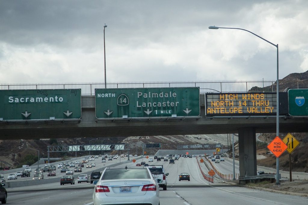
Follow road signs, barriers, and directions at the scene. A digital route can lag behind a temporary change. Do not enter a closed road because an app still draws a line through it, and do not assume another vehicle’s movement proves a route is open to you.
Check the journey home too
A restriction may begin after you arrive or remain after an event ends. Review the return route and parking exit before leaving the car. Our parking-sign guide also helps you check whether your space remains available for the whole visit.
For emergency-related disruptions, NotifyLA provides official City of Los Angeles alert information. A practical travel check takes only a few focused questions: is the main route open, can I reach the correct entrance, where will I stop, and how will I get home? Answer those before departure and leave room to adapt.